




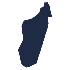


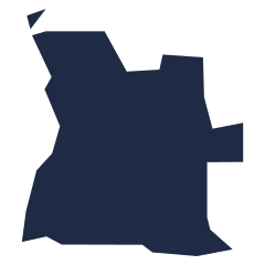
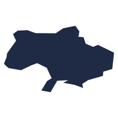
Without the surrounding map, a country's shape is a surprisingly hard clue. Italy and Chile are instantly recognizable; Paraguay or Burkina Faso are much harder. This quiz trains you to remember what a country looks like on its own, which makes the map quizzes much faster.
Outlines are drawn from Natural Earth data at a scale that keeps island groups. Tuvalu is too small for the dataset and is left out. Each outline is drawn at its own scale, so a small country can look as large as a big one.
Reading a country's shape
- Look for one distinctive feature: a long coastline, a panhandle, a chain of islands.
- Island nations made of many pieces, such as Indonesia, the Philippines and Japan, are easier than they look.
- Think about where north is: every outline is shown with north at the top.
Questions people ask
Are the outlines to scale?
No. Each country is enlarged or shrunk to fill the same box, so size is not a clue.
Why are some countries hard to recognize?
Many borders follow straight survey lines or rivers that are only memorable next to their neighbors. Learning them in context with the map quizzes helps.